- Feel the thrill of landing at Lukla airport, an adventure that starts even before we hit the ground running.
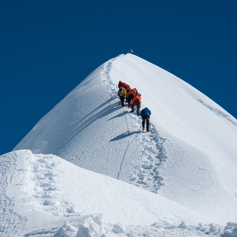
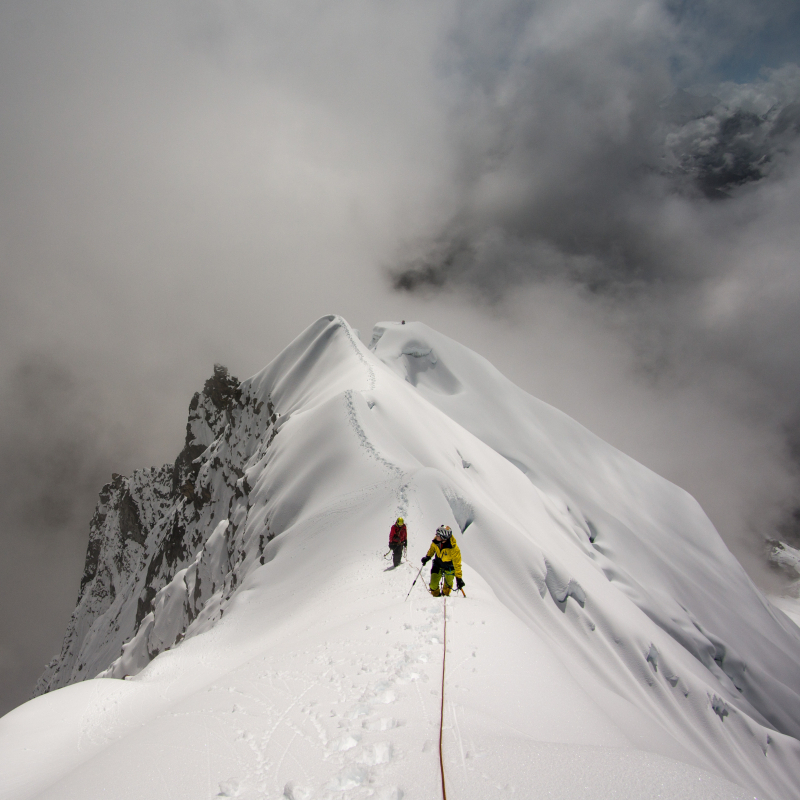
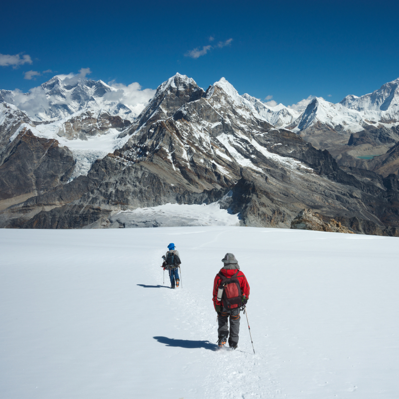
- Follow the classic South West Ridge route, first ascended in 1961, with varied terrain of rock, snow, and ice.
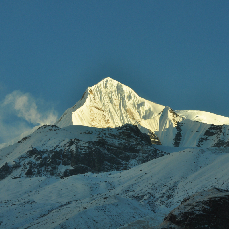
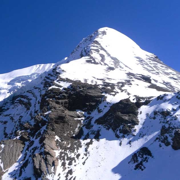
- Summit one of the most iconic and beautiful peaks in the Himalayas, often compared to the Matterhorn.
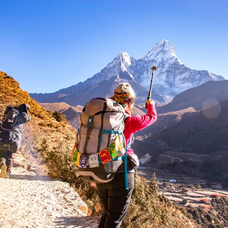
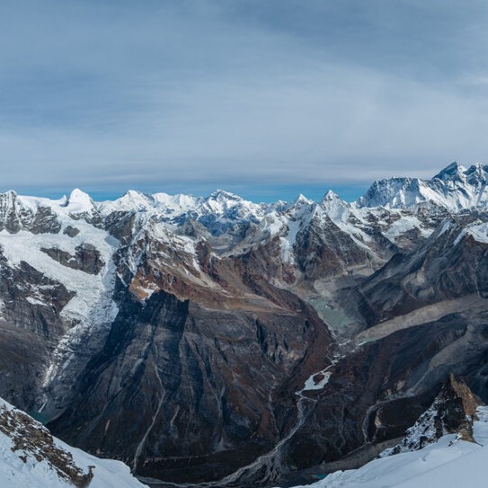
- Experience stunning views of Everest and the mountain range of Khumbu region from the summit of Ama Dablam
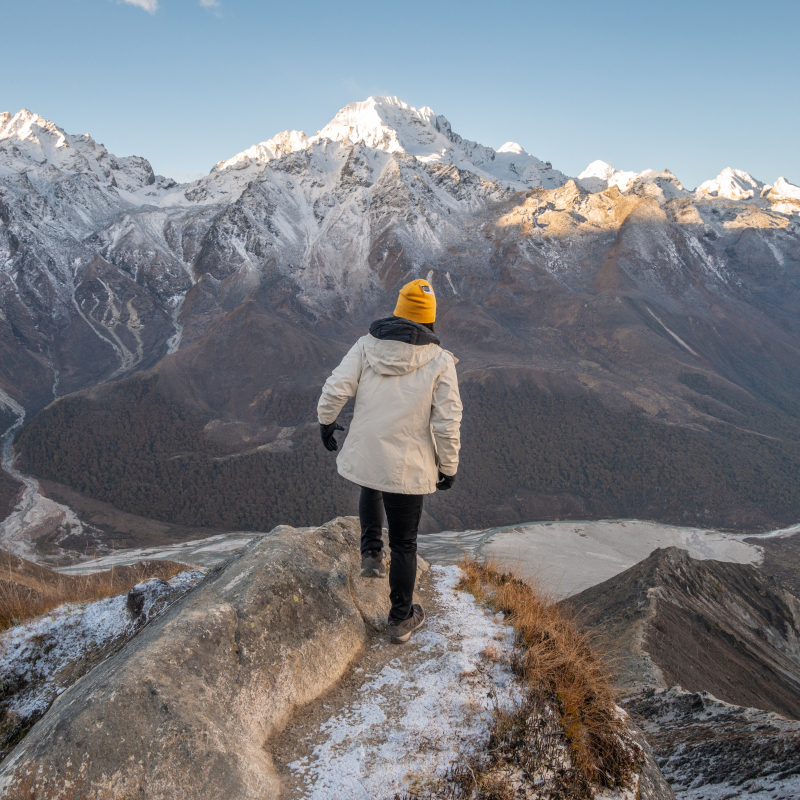
- A trilling guided team expedition that combines technical challenge with cultural immersion.

-
NEPAL
-
Trekking in Nepal
- Everest Base Camp Trek -14 Days
- Everest Panorama Trek - 9 days
- Gokyo Lake Trek - 13 Days
- Gokyo and Kala Patthar Trekking - 17 Days
- Annapurna Base Camp Trek - 12 Days
- Khayer Lake Trek - 11 Days
- Sherpa Village Trek - 10 Days
- Short Annapurna Base Camp Trek - 8 Days
- Langtang Valley Trek - 10 Days
- Ghorepani Poon Hill Trek - 9 Days
- Helambu Village Trek - 9 Days
- Mardi Himal Trek - 9 Days
- Manaslu Circuit Trek - 14 Days
- Dhaulagiri Circuit Trek - 18 Days
- Langtang-Helambu Trek - 17 Days
- Tamang Heritage Trail - 14 Days
- Rara Lake Trek - 14 Days
- Lower Manaslu Trek - 8 Days
- Lower Dolpo Trek - 12 Days
- Numbur Cheese Circuit Trek - 16 Days
- Khaptad National Park Trek - 9 Days
- Langtang Gosaikunda Trek Anti-Clockwise - 16 days
- Pikey Peak Trek - 7 Days
- Gokyo Lake and Renjo La Pass Trek - 13 Days
- Annapurna North Base Camp Trek - 12 Days
- Ama Yangri Trek - 7 days
- Ruby Valley Trek - 12 days
- Kori Danda Trek with Kapuche Lake - 11 days
- Kajin Sara Lake Trek - 9 days
- Tsho Rolpa Lake Trek - 13 days
- Tamang Heritage Trail Trek – 10 Days
- Mohare Danda Trek - 9 Days
- Panchase Trekking-5 Days
- Royal Trek – 9 Days
- Badimalika Trek – 10 Days
-
Alpine Endeavours
- Everest Base Camp with Island Peak - 19 Days
- Lobuche East with Everest Base Camp - 18 Days
- Tent Peak Climbing with Annapurna Base Camp - 16 Days
- Mera Peak Climb - 18 Days
- Yala Peak Climb - 13 Days
- Ama Dablam Expedition - 28 Days
- Pisang Peak Climbing – 17 Days
- Mera Peak Ski Expedition - 18 days
- Chulu Far East Peak Climbing - 19 days
- Putha Hiunchuli Expedition – 32 Days
-
Luxury Treks & Tours
- Classic Everest Base Camp Trek - 21 days
- Everest Base Camp Luxury Lodge Trek - 16 days
- Everest Three Passes Trek - 19 Days
- Annapurna Circuit Trek - 16 Days
- Nar Phu Valley Trek - 19 Days
- Upper Mustang Trek - 16 Days
- Tilicho Lake Trek with Annapurna Circuit- 19 Days
- Manaslu and Annapurna Circuit Trek - 23 Days
- Makalu Base Camp Trek - 18 Days
- Tsum Valley Trek - 16 Days
- Upper Dolpo Trek - 24 Days
- Annapurna Luxury Trek - 17 Days
- Gokyo and Everest Luxury Trek - 18 Days
- Everest Base Camp Deluxe Trek - 16 days
- Limi Valley Trek - 18 Days
- Kailash Mansarovar Yatra with Lhasa - 16 Days
- Laya Gasa Trek - 20 Days
- Gokyo Chola Pass EBC Trek - 16days
- Everest Base Camp Trek with Helicopter Return - 7 days
- Best of Himalayan Kingdom Tour - 10 days
- 9 Days Central Tibet Winter Tour with Premium Cultural Destinations
- Kanchenjunga Circuit Trek – 19 Days
- Tashi Lapcha Pass Trek - 16days
- Everest Base Camp Premium Trekking Package-9 days
- Jiri to Everest Base Camp Trek – 20 Days
-
Sightseeing Tours
- Experience Kathmandu City - 3 Days
- East Nepal Tour - 8 Days
- Kathmandu and Pokhara Tour - 6 Days
- Golden Triangle Tour - 8 Days
- Kathmandu Valley Sightseeing - 5 Days
- Nepal UNESCO World Heritage Site Tour - 14 Days
- Everest North Face & Lhasa Tour - 11 Days
- Miniature Bhutan Tour - 6 days
- Honeymoon Tour in Nepal - 7days
- Educational Tour in Nepal - 12days
- Honeymoon Holiday in Bhutan - 9 days
- Agriculture-Industrial Tour - 10 days
- Discover Lhasa Tour - 5 days
- Namtso Lake Tour - 7 days
- 6 Days Central Tibet Culture Small Group Tour
- 10 Days Nyingchi Peach Blossom Festival Small Group Tour with Everest Base Camp in 2026
-
Adventure Tours
- Nepal Adventure Tour - 8 Days
- Biking Adventure in the Outskirts of Kathmandu Valley - 8 Days
- Pokhara Adventure Tour - 8 Days
- Upper Mustang Motorbike Tour - 10 days
- Bhotekoshi River Rafting - 2 days
- Sunkoshi River Rafting - 9 Days
- 8 Days Driving Across Himalaya Overland Adventure from Kathmandu to Lhasa
- Short Nepal Honey Hunting Tour – 4 Days
- Nepal Honey Hunting Tour– 8 Days
- Upper Mustang Jeep Tour – 12 Days
-
Wildlife Tours
- Kathmandu Chitwan Tour - 6 Days
- Nepal Wildlife Tour - 14 Days
- Nepal Bird Watching Tour - 8days
- Bhutan Nature and Wild life Tour - 8 days
- 4 Days Lhasa and its Surroundings Winter Birding Tour
- Bardiya National Park Wildlife Safari-5 days
- Koshi Tappu Wildlife Reserve - 5days
- Suklaphanta National Park (Safari) - 7 days
- Bardia Tiger Tracking Tour - 7 days
- Parsa Wildlife Reserve - 5 days
-
Cultural Tours
- Kathmandu Valley Cultural Heritage Tour - 5 Days
- Upper Mustang Tiji Festival Jeep Tour - 2026
- Upper Mustang Yartung Festival Trek – 17 Day
- Bhutan Botanical and Cultural Tour - 11days
- 5 Days Lhasa Small Group Tour with Three Major Monasteries
- Bhutan Vistas Tour - 5 Days
- Bhutan Cultural Tour - 10 Days
- Paro Tshechu Festival - 8 Days
- Punakha Tsechu - 9 Days
- Three Medieval Kingdoms Tour – 4 Days
- Floral Kathmandu Tour – 5 Days
- Nepal Culture Tour – 5 Days
- Photography Tours
- Culinary Tours
-
Wellness Tours
- Kathmandu and Lumbini Tour - 7 Days
- Rejuvenation Retreat : Pokhara & Nagarkot
- Yoga Retreat in Bhutan - 7 days
- 9 Day Soulful Tibet Journey: Silence, Meditation, and Everest Awakening
- 9 Days Lhasa to EBC Meditation Journey
- Ama Yangri Trek - 2 days
- Chisapani Nagarkot Trek - 3 Days
- Hot Spring Trekking Around Annapurna Himalayas – 8 Days
- Luxury Holiday In Nepal - 8 Days
- Balthali Village Trek - 3 Days
- Everest View Trek With Helicopter Tour - 4 Days
- Everest View Trek with Gokyo Helicopter Tour – 5 Days
- Kalinchowk Tour – 2 Days
-
Religious Tours
- Janakpur Dham - 5 Days
- Muktinath Tour - 7 Days
- Kailash Mansarovar Aerial Darshan - 6 Days
- Buddhist Pilgrimage Tour in Nepal – 8 Days
- Bhutan Pilgrimage Tour - 10 days
- 12 Days Tibet Winter Tour to the Historical Sites along the Brahmaputra River
- Pathibhara Darshan Tour – 5 Days
- Nepal Pilgrimage Tours – 14 Days
- Cross-Country Tours
-
Day Excursions
- Day Tour to UNESCO Heritage Sites - 1 Day
- Mountain Flight (Everest Flight) - 1 Day
- Trishuli River Rafting - 1 Day
- Everest Heli Tour - 1 Day
- Gosaikunda Helicopter Tour – 1 Day
- Langtang Helicopter Tour – 1 Day
- Shivapuri Hill Yoga Hike - 1 Day
- Ultra Light Flight - 1 Day
- Chandragiri Hill Day Tour – Cable Car Experience
- Kathmandu Full Day Sightseeing Tour
-
Trekking in Nepal
-
TIBET
- Trekking in Tibet
-
Alpine Endeavours
- Everest Base Camp with Island Peak - 19 Days
- Lobuche East with Everest Base Camp - 18 Days
- Tent Peak Climbing with Annapurna Base Camp - 16 Days
- Mera Peak Climb - 18 Days
- Yala Peak Climb - 13 Days
- Ama Dablam Expedition - 28 Days
- Pisang Peak Climbing – 17 Days
- Mera Peak Ski Expedition - 18 days
- Chulu Far East Peak Climbing - 19 days
- Putha Hiunchuli Expedition – 32 Days
-
Luxury Treks & Tours
- Classic Everest Base Camp Trek - 21 days
- Everest Base Camp Luxury Lodge Trek - 16 days
- Everest Three Passes Trek - 19 Days
- Annapurna Circuit Trek - 16 Days
- Nar Phu Valley Trek - 19 Days
- Upper Mustang Trek - 16 Days
- Tilicho Lake Trek with Annapurna Circuit- 19 Days
- Manaslu and Annapurna Circuit Trek - 23 Days
- Makalu Base Camp Trek - 18 Days
- Tsum Valley Trek - 16 Days
- Upper Dolpo Trek - 24 Days
- Annapurna Luxury Trek - 17 Days
- Gokyo and Everest Luxury Trek - 18 Days
- Everest Base Camp Deluxe Trek - 16 days
- Limi Valley Trek - 18 Days
- Kailash Mansarovar Yatra with Lhasa - 16 Days
- Laya Gasa Trek - 20 Days
- Gokyo Chola Pass EBC Trek - 16days
- Everest Base Camp Trek with Helicopter Return - 7 days
- Best of Himalayan Kingdom Tour - 10 days
- 9 Days Central Tibet Winter Tour with Premium Cultural Destinations
- Kanchenjunga Circuit Trek – 19 Days
- Tashi Lapcha Pass Trek - 16days
- Everest Base Camp Premium Trekking Package-9 days
- Jiri to Everest Base Camp Trek – 20 Days
-
Sightseeing Tours
- Experience Kathmandu City - 3 Days
- East Nepal Tour - 8 Days
- Kathmandu and Pokhara Tour - 6 Days
- Golden Triangle Tour - 8 Days
- Kathmandu Valley Sightseeing - 5 Days
- Nepal UNESCO World Heritage Site Tour - 14 Days
- Everest North Face & Lhasa Tour - 11 Days
- Miniature Bhutan Tour - 6 days
- Honeymoon Tour in Nepal - 7days
- Educational Tour in Nepal - 12days
- Honeymoon Holiday in Bhutan - 9 days
- Agriculture-Industrial Tour - 10 days
- Discover Lhasa Tour - 5 days
- Namtso Lake Tour - 7 days
- 6 Days Central Tibet Culture Small Group Tour
- 10 Days Nyingchi Peach Blossom Festival Small Group Tour with Everest Base Camp in 2026
-
Adventure Tours
- Nepal Adventure Tour - 8 Days
- Biking Adventure in the Outskirts of Kathmandu Valley - 8 Days
- Pokhara Adventure Tour - 8 Days
- Upper Mustang Motorbike Tour - 10 days
- Bhotekoshi River Rafting - 2 days
- Sunkoshi River Rafting - 9 Days
- 8 Days Driving Across Himalaya Overland Adventure from Kathmandu to Lhasa
- Short Nepal Honey Hunting Tour – 4 Days
- Nepal Honey Hunting Tour– 8 Days
- Upper Mustang Jeep Tour – 12 Days
-
Cultural Tours
- Kathmandu Valley Cultural Heritage Tour - 5 Days
- Upper Mustang Tiji Festival Jeep Tour - 2026
- Upper Mustang Yartung Festival Trek – 17 Day
- Bhutan Botanical and Cultural Tour - 11days
- 5 Days Lhasa Small Group Tour with Three Major Monasteries
- Bhutan Vistas Tour - 5 Days
- Bhutan Cultural Tour - 10 Days
- Paro Tshechu Festival - 8 Days
- Punakha Tsechu - 9 Days
- Three Medieval Kingdoms Tour – 4 Days
- Floral Kathmandu Tour – 5 Days
- Nepal Culture Tour – 5 Days
- Photography Tours
-
Wellness Tours
- Kathmandu and Lumbini Tour - 7 Days
- Rejuvenation Retreat : Pokhara & Nagarkot
- Yoga Retreat in Bhutan - 7 days
- 9 Day Soulful Tibet Journey: Silence, Meditation, and Everest Awakening
- 9 Days Lhasa to EBC Meditation Journey
- Ama Yangri Trek - 2 days
- Chisapani Nagarkot Trek - 3 Days
- Hot Spring Trekking Around Annapurna Himalayas – 8 Days
- Luxury Holiday In Nepal - 8 Days
- Balthali Village Trek - 3 Days
- Everest View Trek With Helicopter Tour - 4 Days
- Everest View Trek with Gokyo Helicopter Tour – 5 Days
- Kalinchowk Tour – 2 Days
-
Religious Tours
- Janakpur Dham - 5 Days
- Muktinath Tour - 7 Days
- Kailash Mansarovar Aerial Darshan - 6 Days
- Buddhist Pilgrimage Tour in Nepal – 8 Days
- Bhutan Pilgrimage Tour - 10 days
- 12 Days Tibet Winter Tour to the Historical Sites along the Brahmaputra River
- Pathibhara Darshan Tour – 5 Days
- Nepal Pilgrimage Tours – 14 Days
- Cross-Country Tours
-
Day Excursions
- Day Tour to UNESCO Heritage Sites - 1 Day
- Mountain Flight (Everest Flight) - 1 Day
- Trishuli River Rafting - 1 Day
- Everest Heli Tour - 1 Day
- Gosaikunda Helicopter Tour – 1 Day
- Langtang Helicopter Tour – 1 Day
- Shivapuri Hill Yoga Hike - 1 Day
- Ultra Light Flight - 1 Day
- Chandragiri Hill Day Tour – Cable Car Experience
- Kathmandu Full Day Sightseeing Tour
-
Wildlife Tours
- Kathmandu Chitwan Tour - 6 Days
- Nepal Wildlife Tour - 14 Days
- Nepal Bird Watching Tour - 8days
- Bhutan Nature and Wild life Tour - 8 days
- 4 Days Lhasa and its Surroundings Winter Birding Tour
- Bardiya National Park Wildlife Safari-5 days
- Koshi Tappu Wildlife Reserve - 5days
- Suklaphanta National Park (Safari) - 7 days
- Bardia Tiger Tracking Tour - 7 days
- Parsa Wildlife Reserve - 5 days
- Culinary Tours
-
BHUTAN
- Trekking in Bhutan
-
Alpine Endeavours
- Everest Base Camp with Island Peak - 19 Days
- Lobuche East with Everest Base Camp - 18 Days
- Tent Peak Climbing with Annapurna Base Camp - 16 Days
- Mera Peak Climb - 18 Days
- Yala Peak Climb - 13 Days
- Ama Dablam Expedition - 28 Days
- Pisang Peak Climbing – 17 Days
- Mera Peak Ski Expedition - 18 days
- Chulu Far East Peak Climbing - 19 days
- Putha Hiunchuli Expedition – 32 Days
-
Luxury Treks & Tours
- Classic Everest Base Camp Trek - 21 days
- Everest Base Camp Luxury Lodge Trek - 16 days
- Everest Three Passes Trek - 19 Days
- Annapurna Circuit Trek - 16 Days
- Nar Phu Valley Trek - 19 Days
- Upper Mustang Trek - 16 Days
- Tilicho Lake Trek with Annapurna Circuit- 19 Days
- Manaslu and Annapurna Circuit Trek - 23 Days
- Makalu Base Camp Trek - 18 Days
- Tsum Valley Trek - 16 Days
- Upper Dolpo Trek - 24 Days
- Annapurna Luxury Trek - 17 Days
- Gokyo and Everest Luxury Trek - 18 Days
- Everest Base Camp Deluxe Trek - 16 days
- Limi Valley Trek - 18 Days
- Kailash Mansarovar Yatra with Lhasa - 16 Days
- Laya Gasa Trek - 20 Days
- Gokyo Chola Pass EBC Trek - 16days
- Everest Base Camp Trek with Helicopter Return - 7 days
- Best of Himalayan Kingdom Tour - 10 days
- 9 Days Central Tibet Winter Tour with Premium Cultural Destinations
- Kanchenjunga Circuit Trek – 19 Days
- Tashi Lapcha Pass Trek - 16days
- Everest Base Camp Premium Trekking Package-9 days
- Jiri to Everest Base Camp Trek – 20 Days
-
Sightseeing Tours
- Experience Kathmandu City - 3 Days
- East Nepal Tour - 8 Days
- Kathmandu and Pokhara Tour - 6 Days
- Golden Triangle Tour - 8 Days
- Kathmandu Valley Sightseeing - 5 Days
- Nepal UNESCO World Heritage Site Tour - 14 Days
- Everest North Face & Lhasa Tour - 11 Days
- Miniature Bhutan Tour - 6 days
- Honeymoon Tour in Nepal - 7days
- Educational Tour in Nepal - 12days
- Honeymoon Holiday in Bhutan - 9 days
- Agriculture-Industrial Tour - 10 days
- Discover Lhasa Tour - 5 days
- Namtso Lake Tour - 7 days
- 6 Days Central Tibet Culture Small Group Tour
- 10 Days Nyingchi Peach Blossom Festival Small Group Tour with Everest Base Camp in 2026
-
Adventure Tours
- Nepal Adventure Tour - 8 Days
- Biking Adventure in the Outskirts of Kathmandu Valley - 8 Days
- Pokhara Adventure Tour - 8 Days
- Upper Mustang Motorbike Tour - 10 days
- Bhotekoshi River Rafting - 2 days
- Sunkoshi River Rafting - 9 Days
- 8 Days Driving Across Himalaya Overland Adventure from Kathmandu to Lhasa
- Short Nepal Honey Hunting Tour – 4 Days
- Nepal Honey Hunting Tour– 8 Days
- Upper Mustang Jeep Tour – 12 Days
-
Cultural Tours
- Kathmandu Valley Cultural Heritage Tour - 5 Days
- Upper Mustang Tiji Festival Jeep Tour - 2026
- Upper Mustang Yartung Festival Trek – 17 Day
- Bhutan Botanical and Cultural Tour - 11days
- 5 Days Lhasa Small Group Tour with Three Major Monasteries
- Bhutan Vistas Tour - 5 Days
- Bhutan Cultural Tour - 10 Days
- Paro Tshechu Festival - 8 Days
- Punakha Tsechu - 9 Days
- Three Medieval Kingdoms Tour – 4 Days
- Floral Kathmandu Tour – 5 Days
- Nepal Culture Tour – 5 Days
- Photography Tours
-
Wellness Tours
- Kathmandu and Lumbini Tour - 7 Days
- Rejuvenation Retreat : Pokhara & Nagarkot
- Yoga Retreat in Bhutan - 7 days
- 9 Day Soulful Tibet Journey: Silence, Meditation, and Everest Awakening
- 9 Days Lhasa to EBC Meditation Journey
- Ama Yangri Trek - 2 days
- Chisapani Nagarkot Trek - 3 Days
- Hot Spring Trekking Around Annapurna Himalayas – 8 Days
- Luxury Holiday In Nepal - 8 Days
- Balthali Village Trek - 3 Days
- Everest View Trek With Helicopter Tour - 4 Days
- Everest View Trek with Gokyo Helicopter Tour – 5 Days
- Kalinchowk Tour – 2 Days
-
Religious Tours
- Janakpur Dham - 5 Days
- Muktinath Tour - 7 Days
- Kailash Mansarovar Aerial Darshan - 6 Days
- Buddhist Pilgrimage Tour in Nepal – 8 Days
- Bhutan Pilgrimage Tour - 10 days
- 12 Days Tibet Winter Tour to the Historical Sites along the Brahmaputra River
- Pathibhara Darshan Tour – 5 Days
- Nepal Pilgrimage Tours – 14 Days
- Cross-Country Tours
-
Day Excursions
- Day Tour to UNESCO Heritage Sites - 1 Day
- Mountain Flight (Everest Flight) - 1 Day
- Trishuli River Rafting - 1 Day
- Everest Heli Tour - 1 Day
- Gosaikunda Helicopter Tour – 1 Day
- Langtang Helicopter Tour – 1 Day
- Shivapuri Hill Yoga Hike - 1 Day
- Ultra Light Flight - 1 Day
- Chandragiri Hill Day Tour – Cable Car Experience
- Kathmandu Full Day Sightseeing Tour
-
Wildlife Tours
- Kathmandu Chitwan Tour - 6 Days
- Nepal Wildlife Tour - 14 Days
- Nepal Bird Watching Tour - 8days
- Bhutan Nature and Wild life Tour - 8 days
- 4 Days Lhasa and its Surroundings Winter Birding Tour
- Bardiya National Park Wildlife Safari-5 days
- Koshi Tappu Wildlife Reserve - 5days
- Suklaphanta National Park (Safari) - 7 days
- Bardia Tiger Tracking Tour - 7 days
- Parsa Wildlife Reserve - 5 days
- Culinary Tours
- TOP PICKS
- COMPANY
- BLOGS