
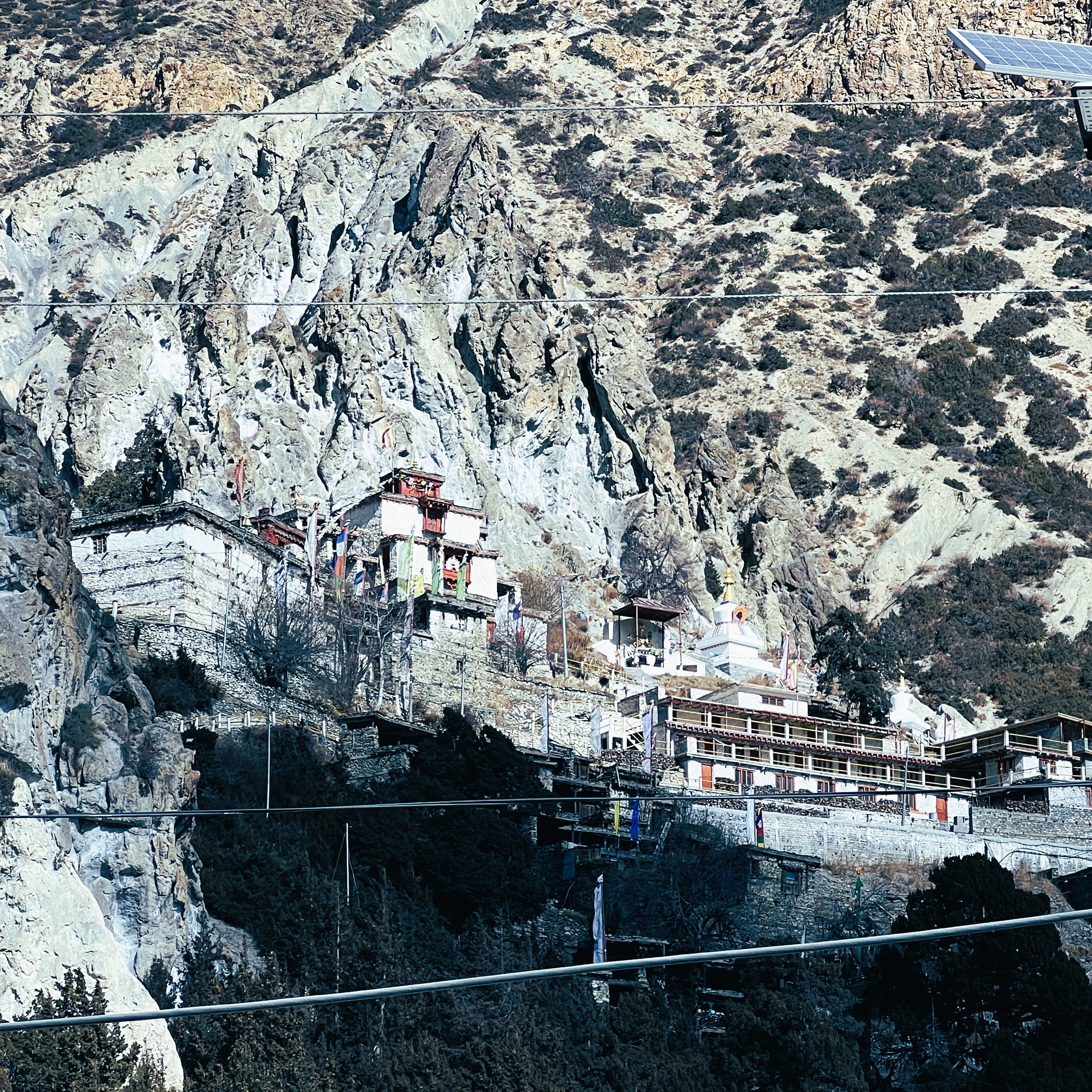
Lamjung Tunnel Project: How a Future Besisahar Shortcut Could Transform Travel to Manang and Annapurna

The Lamjung Tunnel Dream:
Could Nepal's Biggest Shortcut Change Himalayan Travel Forever?
An analytical deep-dive into the proposed subterranean gateway to Manang and the Annapurna Circuit.
A Revolutionary Gateway to Manang and Annapurna
For decades, the journey to Nepal's famous Annapurna region has begun with a long drive through winding mountain roads. Every year, thousands of trekkers, pilgrims, adventure riders, and jeep-tour travelers pass through Lamjung on their way to Besisahar, Manang, Tilicho Lake, and the legendary Annapurna Circuit.
Now imagine reaching the gateway of the Annapurna region in significantly less time.
This is the vision behind discussions surrounding a future tunnel connection in Lamjung, a project that many believe could become one of the most important transportation developments for Himalayan tourism. While still a proposal, the concept has already generated excitement among tourism entrepreneurs, local businesses, and adventure travelers.
Could this become Nepal's next big tourism revolution? Let's explore.

Why Does It Take So Long to Reach Besisahar?
Besisahar serves as the administrative center of Lamjung District and acts as the traditional gateway to Manang and the Annapurna Circuit. For travelers from Kathmandu or Pokhara, the baseline transit involves complex environmental friction points.
⚠️ Current Road Conditions
The route follows sections of the busy Prithvi Highway before connecting to interior roads leading toward Lamjung. Although improvements occur incrementally, travelers frequently encounter:
- Road construction zones & seasonal delays
- Monsoon-induced rockfall & landslides
- Severe traffic bottlenecks at key valley junctions
- Rigid, single-lane narrow mountain tracks
⏳ Traffic and Seasonal Challenges
During peak trekking seasons and national holidays, increased logistics density slows down absolute transit metrics. Monsoon months introduce additional risks, making reliable itinerary execution a continuing challenge for international operators and local communities alike.
The Tunnel Proposal That Could Change Everything
Infrastructure planners and local stakeholders have periodically evaluated structural shortcuts to bypass vulnerable choke points entirely. While execution metrics rest on deep feasibility modeling, the blueprint shifts absolute regional parameters.
The Planned Strategic Alignment
By boring directly through geological barriers into the Lamjung district, the line eliminates major surface loops. This shortens pure line distances, completely circumvents historic landslide zones, and introduces dependable year-round accessibility.
Expected Travel Time Reduction
A successful execution translates to fewer hours locked inside transport chassis. For routes trending toward Manang, Tilicho Lake, the Annapurna Circuit, and the Nar Phu Valley, the gains are immediate: more hours tracking wilderness, less time tracking asphalt.
Reshaping the Himalayan Tourism Sector
1. Accelerated Access to Manang
Enables compressed itineraries for professionals with fixed travel windows, protects logistics safety for mature travelers, and builds robust execution tracks for premium luxury trekking assets and rapid emergency medical responses.
2. Annapurna Circuit Optimization
Reduces structural transit friction at launch points, enhances international scheduling reliability, and provides local tea-houses and service points with sustainable supply chains throughout winter.
3. Local Enterprise Growth
Spurs structural financial scaling across hospitality channels, boutique guesthouses, and independent guiding systems. Improved accessibility increases operational longevity and investment across adventure paths.
Will the Annapurna Circuit Become Too Accessible?
Balancing modernization and preservation remains a critical structural conversation.
The Infrastructure Proponents
Emphasize enhanced safety parameters, reduced casualty potentials on dangerous cliff paths, and the deep economic normalization for mountain families. Reliable connection networks mean direct, rapid access to modern healthcare, education, and cheaper resource lines for native residents.
The Wilderness Purists
Express concern that rapid access modifications risk eroding the legendary heritage of isolated slow travel. The romanticism of remote paths, untouched architecture, and ancestral pacing requires deliberate zoning to survive industrial integration.
Why Manang Remains Unrivaled
Regardless of future infrastructure variations, Manang continues to captivate travelers with its extraordinary landscapes. Visitors encounter ancient Tibetan Buddhist culture, dramatic Himalayan valleys, Gangapurna Lake, Tilicho Lake, ice-covered peaks, traditional stone villages, and high-altitude desert scenery.
7-Day Manang Jeep Adventure Itinerary
Kathmandu – Besisahar: Initial valley approach run.
Besisahar – Chame: Moving through deep river canyon passes.
Chame – Manang: Emergence into wide alpine landscapes.
Acclimatization: Local heritage and Gangapurna Lake execution.
Excursion: High run tracking toward Tilicho Base Camp zones.
Return Descent: Re-routing tracks smoothly back down to Besisahar.
Kathmandu: Direct return vector across the central highway matrix.
Expert Curated Trekking & Jeep Operations
Explore Annapurna Circuit LineInfrastructure vs. Isolation: What's Your Take?
Whether or not the Lamjung tunnel becomes a concrete reality, logistics modernization will shape the central Himalayas. Join our field log record by sending your commentary directly to our development desks.
